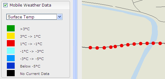
When available in your system, the Mobile Weather Data layer displays a summary of the last 1 hour of data from mobile weather stations.
The available observations depend on the station setup. In the layer selection side panel, you can select which observations are displayed:
Road Surface Temperature
Road Surface State
Level of Grip.
The measuring points are displayed along the route on the map. The legend explaining the measuring point colors changes in accordance with the selection:
Zoom in to see the individual observation points. See Zooming and Moving the Map.
See also: