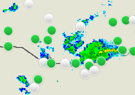
The radar image layer of the Map View displays the radar image available for the region.
You can see how the radar data changes by using the time line controls
and the play back icons:

For more information, see topic Using Time Line Controls.
See also: